The brightest
orange
Is the highway
median
Laid out on wet
pavement
Beneath autumn
leaves.
------------
Clouds of gray
drift in
Above
still-green birches
Of the
bitterroots
To wash away
the summer.
------------
“REG. 3.07”
The sign
flashes red and green
Outside Ron’s
Gas and Go
As the trucks
push on
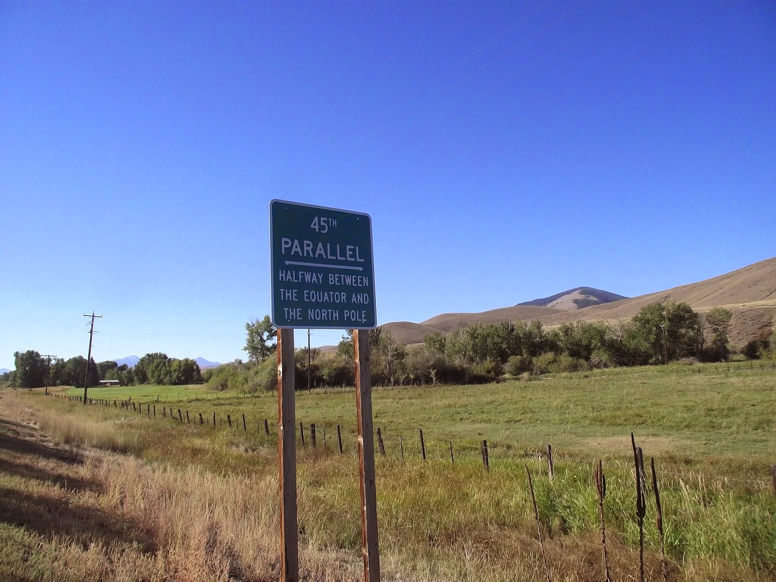
To Kootenai
National Forest
In clouds of
dirty mist.
The hours of
wet, cold and monotony are fine times for philosophizing and poetic musings.
I’m in a better mood when the sun is out and the road is easy, but I can only
go so far exulting over beautiful sunrises and pristine landscapes before the
writing gets damn boring.
So now that I’m
sitting comfortable in a warm, dry place, I’ll go ahead and thank Mother Nature
for being such a burr in my ass in the days that I pedaled out of Northwest
Montana, across the Idaho panhandle into eastern Washington.
I got to enjoy about 12 miles of
steady biking after I left my campsite north of Missoula before the brutal wind
set in. It was like someone had put superglue on my tires. I could crank for
all I was worth and go maybe a mile an hour faster.
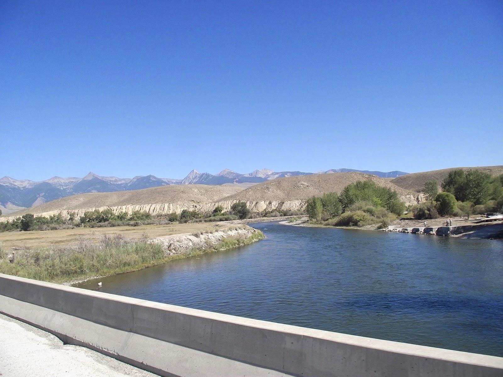
Highway 200
follows the wide and blue waters of the Clark Fork through pastureland and
stands of conifers. The wind kicked up whitecaps on the river, meeting the
rain-swollen flow head-on. Unfortunately, the thousands of cubic feet of
flowing water were much better equipped to resist the blustery air than I was.
I hadn’t packed
enough water. The Clark Fork was a tempting refill option, but I was reluctant
given the number of farms in the area. Eventually, I pulled up at a farm stand
that was closing down for the season.
I asked a guy
loading stuff into his pickup if he had a hose out back.
“There’s a
spring down the road,” he told me. “It’s the best water in the world.”
The water ran
out from a faucet in a rock wall beside the tracks.
A BNSF train
thundered by as I filled my bottles. I took a drink. Indeed, the water was
pure, almost sweet.
A truck pulled
up with a bunch of empty jugs. I got moving again.
The wind let up
a bit by the afternoon, allowing me to finish the day with about 75 miles of
progress. I did an additional four miles of pedaling to get to my campsite,
located along a tributary. A sign said that there was potential chemical
contamination in the water, so I skipped the boiled pasta dinner I’d planned
for myself.
I was the only
person in camp excepting for an RV parked at the other end.
That changed
around 8 p.m. at night when an SUV pulled up about 100 feet from my tent.
I peered out
and saw the guy in the cab. A light was on, like he was reading something. I
was a little annoyed, but figured he’d drive off soon enough. I made note of my
bear spray nearby. If he was thinking about doing a little axe murdering he’d
get a face-full of capsaicin.
I felt a
certain reluctance to go to sleep with the truck out there and its little
light. Finally, I decided I had to see what was up. I walked over and waved
through the window. The guy waved back.
I introduced
myself and asked how he was doing.
He was out of
the house because he’d been in an argument with his girlfriend and didn’t feel
like staying at her place. The argument had been going for a couple days, he
said, and he’d been parking in the same spot where my I’d set up the tent.
We talked for a
while about different parts of the west where we had traveled. It turned out
that he had rafted the same section of the Green River that I had guided that
summer.
I was
reasonably convinced that he was not the axe murdering type and went back to
the tent.
There was a
cold drizzle the next morning. On the way back from the campground’s outhouse,
I saw the guy walking outside with a handgun holstered at his belt (for the
bears, he said.)
I started down
the road again with numb fingers. Double dump trucks and logging rigs flew by,
kicking trails of spray up off the pavement. The Clark Fork was a dead fish
gray under the rain-swollen sky.
I crossed into
Idaho for the third time on the trip and kept going to the massive Lake Pend
Oreille, whose shoreline I’d be following for almost a day.
The map showed
me a campground that was about a mile and a half out on a peninsula. When I got
there, I found that it had just closed for the summer. I ended up camping on
some public land on a wooded hill across the street.
I went into
Sandpoint the next day, a city that my Rand McNally atlas identified as the
most beautiful small town in the U.S. Much of the scenery, such as views across
the lake, was shrouded in the fog. Traffic was busy along the narrow road and
made for a harrowing pedaling until I got to the bike paths.
I
splurged on some hash browns and hot coffee in town then peddled across the
lake on a two-mile long highway bridge. When I got to the other side, I
realized I’d been going the wrong way. Rather than face a stiff headwind, I
decided to go on the south side of the lake and rejoin my course near the
Washington border.
One
disadvantage of this plan was that the south side of the lake turned out to be
relentlessly hilly. I was exhausted by the time that I got back on course.
Finally, I got
back on the main road and crossed the border to Washington. The area was wooded
and it was easy to find a tent stop. It would only be a couple days until I got
to visit friends in Wenatchee and Seattle. Now that I was out of the mountain
states, I figured there would be easier going and looked forward to some more
leisurely days ahead. I soon found out that Washington would have plenty of
challenges of its own to throw at me.